The Atlas of the Vale · GRASSLAND
Chapter 4
The Sered Spur
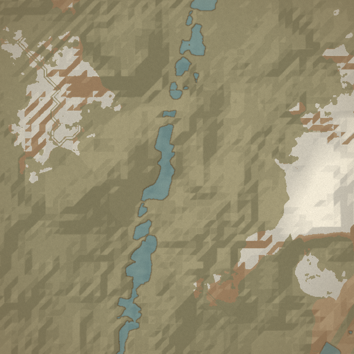
The crag west of the vale that House Vandahl's castle and keep cling to.
A long limestone crag thrown up where the Vale's meadow climbs west toward the Greatwood ridges: rolling green benches and sheep-cropped commons over grey bedrock that breaks the surface as ribs, scarps, and crag-noses. The hollows between the ribs are warmer, greener, hidden from the wind — you do not see one until you are over its lip. The Sered Cleave gorge cuts the crag north-to-south; the cart-road bends along it and dies at the castle crag as a footpath. The danger rule is simple: the higher and the older the Vandahl ground, the worse it rings.